Choose the section
A visit to the chosen shoreline
Choose Bãi Thơm for a coast-and-road outing, not an interchangeable sandy-bay swim.

Beach guide · Northeast coast
The journey to Bãi Thơm changes the scale of Phu Quoc. Shopfronts thin out, the road finds more green, and the coast becomes somewhere to sit rather than a sequence of beach clubs. Our nature article remembers smaller villages and fishing boats in the distance. Give this northeast corner a proper road day and a meal; it is at its best when it does not have to compete with a long list of southern attractions.
Choose Bãi Thơm for a coast-and-road outing, not an interchangeable sandy-bay swim. We suggest half a day for the direct inland journey and a few shore stops, or a longer daylight outing if coming along the east coast via Hàm Ninh and Cây Sao. Hòn Một is an optional separate visit.
Bãi Thơm is on the main island’s northeast coast, not Hòn Thơm, the southern cable-car island.
At a glance
Traveler fit
Choose the section
Choose Bãi Thơm for a coast-and-road outing, not an interchangeable sandy-bay swim.
What it really feels like
In our original nature writing, Bãi Thơm is the counterpoint to the western sunset coast: smaller settlements, greener road edges and space to watch the water.
That does not make every shoreline an empty white-sand bathing bay. The interesting visit is more varied—drive, pause, look along the coast, have a drink or a meal, then move on without rushing. Keep the stops close enough that you actually get out of the car. If all you want is a lounger, a shower and a long swim, a venue arranged for that purpose elsewhere will serve the day better.
This is the northeast side of the main island. Shore angles vary, so a west-coast sunset photograph is not a reliable promise for every Bãi Thơm table. Daylight is useful for seeing the fishing boats, the line of trees and the changing edge of land and water. Early or later light can make those details softer without requiring a dawn departure or a sunset deadline. Stay on the mainland viewpoint your host recommends. The shapes offshore are part of the view; reaching an island is an additional journey, not a reason to wade out because a photograph makes the gap look small.
The greener approach is one reason we like this side of the island. You can enjoy the forest backdrop and permitted roadside stopping places without turning lunch into a trek. A side path in the trees is not an authorised trail. If forest walking is your main interest, choose a named guided route rather than leaving the coast road on a guess. The road outing has its own pleasures: the change from settled villages to green edges, a break in shade and time to look at the sea. It does not need a list of unbooked wildlife activities added to become worthwhile.
Our original activity article links Dương Đông, Hàm Ninh, Cây Sao and Bãi Thơm in a road-day outline. It is an appealing way to understand the island, but a different commitment from going directly north for lunch. For the shorter version, keep a village/shore stop and your meal. For the longer one, let Hàm Ninh be the market or breakfast stop and Cây Sao the agreed coastal pause before continuing north. Allow the road journey separately from time on the shore. Keep a driver for the return rather than assuming an available app car after a remote late lunch.
One named meal enquiry is Bãi Thơm Retreat at Cầu số 30, ấp Đá Chồng, listed with phone 0938 676 555. Its public listing gives seafood/barbecue categories, not dependable kitchen hours or a fixed menu, so arrange the meal with the host. For a shared coast lunch, our suggestion is cooked fish or squid, rice and vegetables rather than ordering only shellfish. Hòn Một belongs to the nearby northeast coast, not the southern Hòn Thơm cable-car circuit. A mainland look toward it can be part of the day; any crossing needs its own current receiving arrangement, not an old low-tide instruction.
Access and orientation
Enable Google Maps to explore the map here. Google receives connection information when the map loads.
Enables maps only. Your analytics and advertising choice stays unchanged.
Search by area name; this does not define a boundary or exact entrance.
Open in Google MapsBeach location
Northeast coast of Phu Quoc, Bai Thom locality
The direct approach from Dương Đông follows the ĐT.973/Nguyễn Trung Trực corridor north. The eastern ĐT.975C road gives a different day via Hàm Ninh and Cây Sao. Save the village, your meal address and any mainland viewpoint toward Hòn Một as separate stops. If using Bãi Thơm Retreat as a meal enquiry, its published listing places it at Cầu số 30, ấp Đá Chồng, not at a generic village-centre pin.
What to do nearby
Nearby beach
Compare a nearby coast with a different access pattern, atmosphere or purpose.
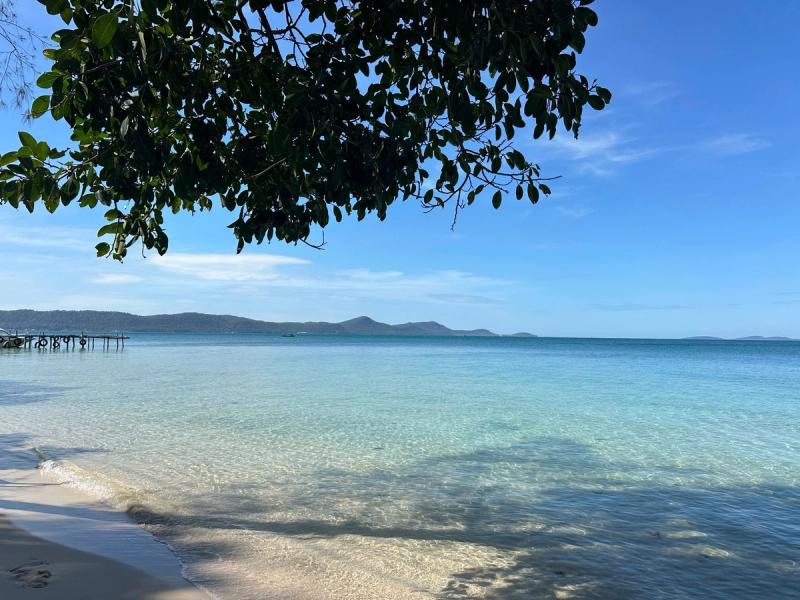
Nearby beach
Compare a nearby coast with a different access pattern, atmosphere or purpose.
Practical local tips
For the long east-coast version, decide the lunch and last northern stop before departure.
Keep Hòn Một and Hòn Thơm as different destinations in every booking.
Nearby beaches and next decisions
Continue with the Bãi Thơm area, nearby island context and east-coast route.
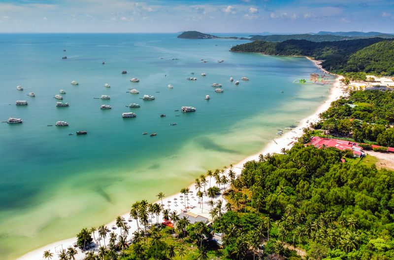
Beaches Hub
Return to the complete directory and choose by landscape, purpose and access effort.
Area
Put the beach into its transport, food and stay context.
Related beach
A related coast with a different purpose, development pattern or access expectation.
Related beach
A related coast with a different purpose, development pattern or access expectation.

Transport
Review transport choices before committing to a remote beach, return time or multi-stop day.
FAQ
No. Bãi Thơm is on the northeast main island. Hòn Thơm is the southern island reached by the cable car.
The greener road, northeast coast and a relaxed shore meal. Plan it as a road-and-coast outing rather than expecting a large serviced swimming beach.
The ĐT.973 direction is the direct northern approach. Going through Hàm Ninh and Cây Sao makes a longer east-coast day with different stops.
Bãi Thơm Retreat is listed at Cầu số 30, Đá Chồng, with phone 0938 676 555. Arrange the meal directly; the listing does not establish a continuously open kitchen.
Do not plan a crossing from an old low-tide description. Obtain a current permitted approach and return arrangement; the mainland view can stand alone.
The forest backdrop is not an authorised trail. Enjoy permitted roadside views or book a named guided route if walking is the main purpose.