Fishing villages in Phu Quoc
Compare six working-coast communities without ranking them.
Read the guide

WORKING-COAST GUIDE
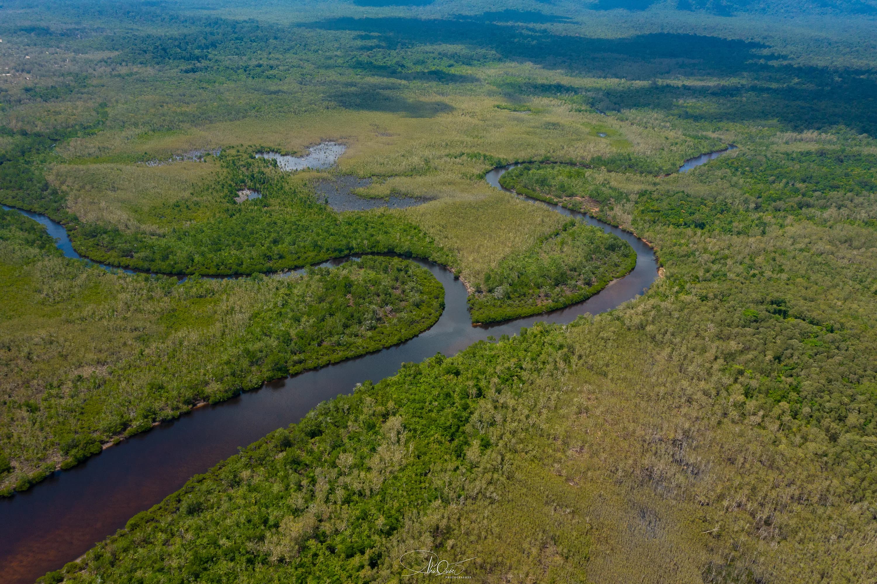
At Rạch Tràm, the river is part of the village’s story. It runs through a green northern landscape before meeting a broad bay, bringing forest, fishing water and the coast into the same outing. This is the northeast of Phu Quoc, far from the promenades and evening productions that dominate so many island itineraries.
Go if the river-and-village landscape is what you want to see. Build the outing around a known local meeting point and a daylight return. A mangrove boat ride is an additional arrangement, not an attraction automatically operating when you arrive.
Plan the meal, meeting point and any river boat before travelling; this is not a district with a single visitor entrance and standard excursion timetable.
Editorially reviewed:
PLAN QUICKLY
The landscape makes more sense when those three parts stay connected.
Our mangrove originals describe Rạch Tràm through winding channels and vegetation close to the water. The aerial image here shows that river landscape; it is not a photograph of a village street or a visitor jetty. The interesting question is how the river meets the coast, not whether a viewpoint can reproduce the drone photograph from ground level.
The local planning account places the Rạch Tràm coastal landscape in Bãi Thơm, between the Hàm Rồng and Chảo headlands. It is useful geographic context, but a planning document describes intentions as well as land. Proposed tourism facilities or new accommodation should not be read as an existing visitor service.
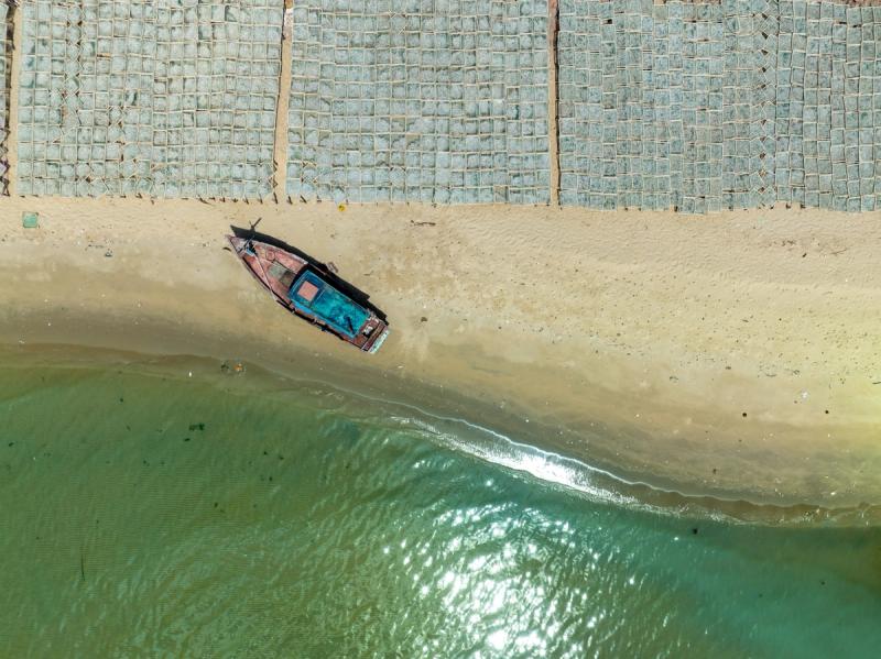
For a village visit, look at the relationship between boats, shore access and the river mouth from public routes. The pace is different from a built attraction: there may be an ordinary working day rather than a scene arranged for a tour. If you want someone to explain local fishing or river ecology, arranging that conversation in advance gives the visit a purpose beyond a quick photograph.
A village stop and a river excursion need different arrangements.
For the village and coastal landscape alone, our suggestion is to reserve a substantial part of a northern day, including the road, rather than promise a fixed short drive from Dương Đông. Bring the actual destination to your driver: a village meeting, a river landing and the beach can lead to different final approaches.
For a river boat, arrange the boat and person leading the trip before setting out. Agree on the launch, stretch of river, length, passenger capacity and return landing. Decide whether your purpose is a short look at the river mouth or a longer mangrove journey; those are not the same itinerary and should not share a vague “explore the forest” description.
Bãi Thơm is the natural broader area to pair with Rạch Tràm. Rạch Vẹm is a separate northern bay, while Cửa Cạn kayaking belongs to the western side. Keep the map visible when combining them: a list of villages and mangroves can hide a long day of driving. Pick the landscape you most want to spend time in.
The most important arrangements happen before the last stretch of road.
Bring drinking water, sun cover, charged phones and an offline route. Plan lunch on the broader day rather than assuming a seafood restaurant will be available beside your exact stopping point. If a local host has agreed to prepare food, settle the meal and group size with them before travelling; a fishing village is not automatically a restaurant district.
Get recent advice for the final road after prolonged rain and choose the vehicle accordingly. We have not inspected its present condition and will not describe every approach as paved, easy or open to all vehicles. A driver who knows the actual meeting point is more useful here than an optimistic travel-time estimate.
If taking a boat, look for correctly sized lifejackets, a clear boarding arrangement and a person responsible for the whole group. River mouths can have current and boat traffic, so do not turn a landscape stop into an improvised swim. Keep enough daylight for the return and an agreed pickup if your driver is not waiting.
Use a named local meeting point in Rạch Tràm, not a generic national-park pin or a Rạch Vẹm restaurant. Access to the settlement does not confer access to protected forest routes; a river outing needs its own locally appropriate arrangements.
Keep each planning question with its canonical guide: Rach Tram Beach and the area guide cover the coast and wider destination logistics.
Specific answers for this experience.
No. Rạch Tràm belongs to the northeastern river-and-coast landscape around Bãi Thơm; Rạch Vẹm is a separate northern fishing bay associated with starfish outings. Use the full place name when booking a driver.
Do not count on a walk-up service. Arrange the actual boat, guide, launch and route before leaving; this guide has not verified a public timetable or ticket desk.
It shows the identified Rạch Tràm river landscape, not the fishing village’s visitor facilities. It explains the connection with mangroves without claiming the same view is reachable from a road lookout.
Yes, as a geographically coherent northeastern outing. Leave time for the river or village rather than also adding western Cửa Cạn and a southern show to the same tightly packed day.
Do not assume that. Put meals and facilities into the plan for your specific meeting point, or arrange them with a local host beforehand. A village name is not a visitor-services guarantee.
Treat it as a working-water and landscape visit. Currents, river depth and boat movements make it different from an organised swimming beach; a river photograph is not evidence of a suitable swimming entry.
Editorial review: