Choose the section
A visit to the chosen shoreline
Make Rạch Tràm a dedicated northern village-and-coast outing.

Beach guide · North coast
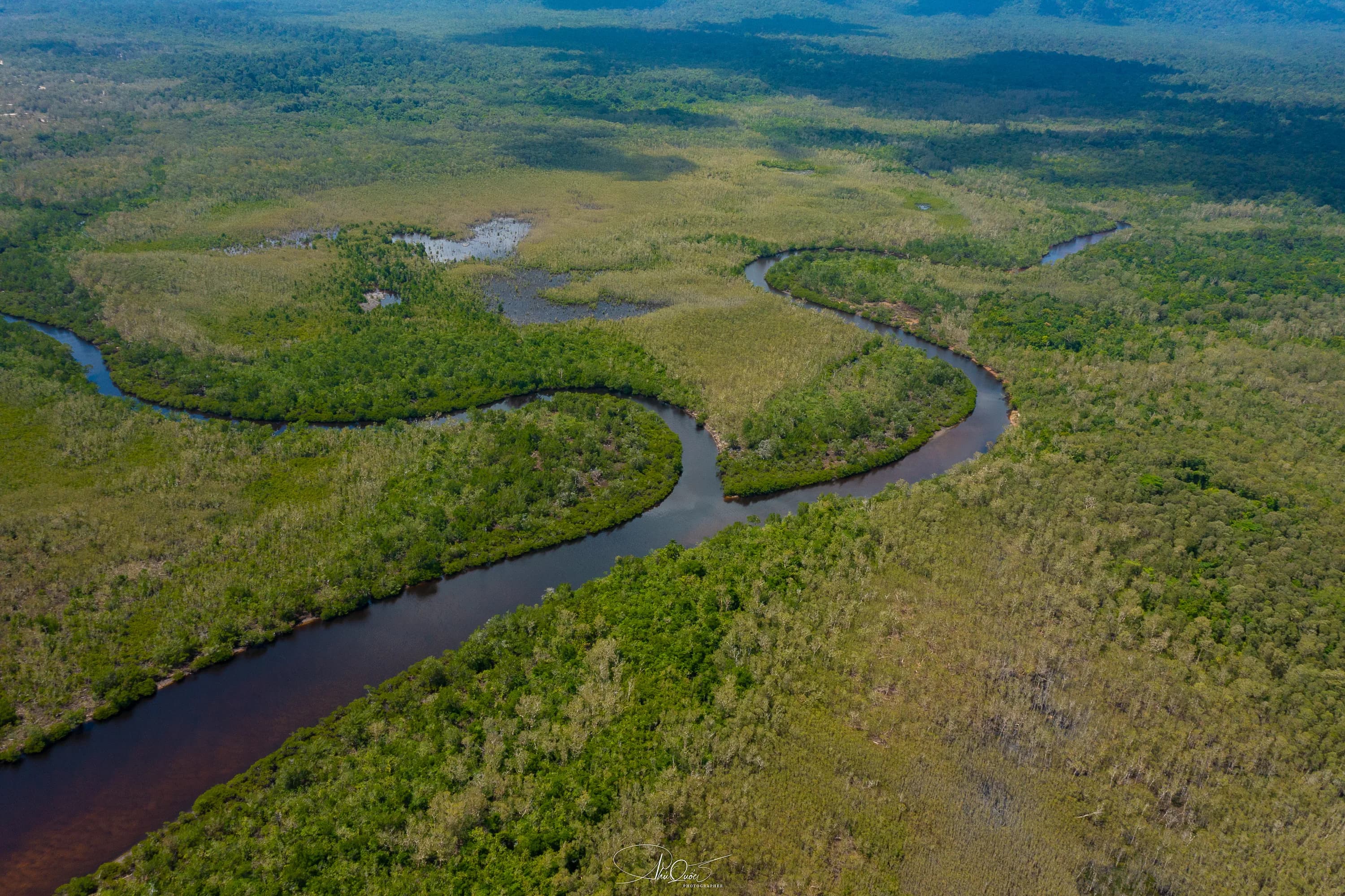
Rạch Tràm is a change of pace before it is a beach. The road takes you away from the resort corridor, and the river, wetland trees and village become the story. Our mangrove article remembers roots at the water’s edge and the sound of birds carrying across quieter water. Come for that meeting of river and sea, rather than looking for another version of Bãi Dài.
Make Rạch Tràm a dedicated northern village-and-coast outing. Use the Bãi Thơm approach, distinguish the village shore from a river launch, and plan a land-based visit unless you have booked a specific operating boat service. We suggest half a day including the road journey, with food and the return car arranged before leaving town.
Rạch Tràm and Rạch Vẹm are different northern villages. This is not the Hàm Rồng starfish boat trip.
At a glance
Traveler fit
Choose the section
Make Rạch Tràm a dedicated northern village-and-coast outing.
What it really feels like
Rạch Tràm’s interest lies in the transition: forest-backed roads, a working settlement, the river and the coastal edge.
The original mangrove reporting gives this place its strongest texture—trees growing close to water, exposed roots and long pauses between engine sounds. A beach-only checklist misses most of that. Start with a place in the village where visitors are received, look at the river landscape from a permitted stopping point, then spend time at the agreed shore. Keep the visit simple enough to notice the details rather than using the village as a backdrop for a hurried photograph.
Rạch Tràm belongs to the northern Bãi Thơm setting. It is not the shore between Ông Lang and Bãi Dài, and Rạch Vẹm is another village with another approach. This matters when hiring a car: “a quiet northern beach” does not identify which road or receiving point the driver should use. Ask for Rạch Tràm village and your actual stop by name. If the photograph you want contains restaurant platforms and red starfish, the separate Rạch Vẹm/Hàm Rồng guide is probably the one you need. Come here for river, settlement and coast rather than borrowing the neighbouring outing’s promise.
Research hosted by Phu Quoc National Park identifies Rạch Tràm’s wetland landscape and rare cóc đỏ mangrove trees as important ecological features. It discusses community-based nature activities, including kayaking, as development possibilities. That helps explain why the river matters; it is not a current rental catalogue. Enjoy the visible river and tree line from your host’s receiving point. If you want to go on the water, the provider needs to name the launch and route as well as equipment and the return. A land-based visit still makes sense when no suitable river trip is operating.
Planning and land-recovery notices describe particular project areas around Rạch Tràm; this is not evidence that the whole coast is closed. It is a reason to use a present receiving point instead of following an old track through construction or fenced land. Get the last turn and the place where your vehicle can wait in the same message. For a relaxed visit, arrive with daylight remaining for the return and carry drinking water. The scenic road should be part of the day, not a race to fit the village between a theme park closing time and an evening performance.
Our suggested sequence is the inland northern drive, an agreed village stop, the river/coastal view and a meal arranged with your host before the return. There is no need to add an uncertain boat trip to justify the journey. If a hosted meal is unavailable, eat before the remote section or plan the meal back on the main route; do not build the day around finding an unnamed beach kitchen. Bãi Thơm can be a second northern reference point if the road plan supports it. Rạch Vẹm and Gành Dầu deserve their own vehicle legs rather than being treated as adjacent pieces of the same beach.
Access and orientation
Enable Google Maps to explore the map here. Google receives connection information when the map loads.
Enables maps only. Your analytics and advertising choice stays unchanged.
Search by area name; this does not define a boundary or exact entrance.
Open in Google MapsBeach location
Northern Bai Thom locality, around Rach Tram settlement and river
From Dương Đông, take the ĐT.973/Nguyễn Trung Trực direction toward Bãi Thơm. The road register identifies ĐH.86 from the Bãi Thơm ranger-station area toward the Rạch Tràm resettlement area. Use that as orientation, then obtain the final village/shore stopping point from your receiving host. A river launch requires its own destination. Keep the same driver for the return rather than depending on an on-demand car in the village.
What to do nearby
Nearby beach
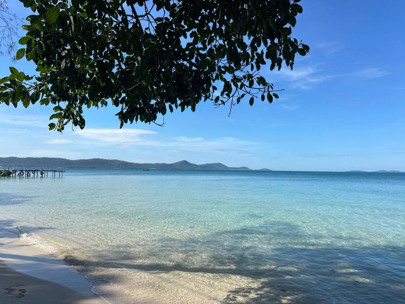
Compare a nearby coast with a different access pattern, atmosphere or purpose.
Nearby beach
Compare a nearby coast with a different access pattern, atmosphere or purpose.
Practical local tips
Save the final village turn and the return pickup while you still have a reliable connection.
A village shore stop can stand alone; a river trip needs its own launch and booking.
Nearby beaches and next decisions
Read the northern area and village guides before choosing the rest of the road day.
Beaches Hub
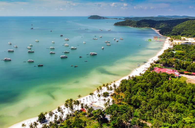
Return to the complete directory and choose by landscape, purpose and access effort.
Area
Put the beach into its transport, food and stay context.
Related beach
A related coast with a different purpose, development pattern or access expectation.
Related beach
A related coast with a different purpose, development pattern or access expectation.

Transport
Review transport choices before committing to a remote beach, return time or multi-stop day.
FAQ
No. Rạch Tràm belongs to the northern Bãi Thơm river-and-village landscape. Rạch Vẹm is the separate village associated with the starfish outing.
Use the ĐT.973/Bãi Thơm approach and the ĐH.86 road landmark, then the final directions for the actual receiving village stop. A river launch is a separate destination.
This guide does not establish a suitable bathing area at the mouth. Choose the river for its landscape and keep clear of boat movements.
We have not established a public walk-in rental operation. Arrange a named provider with a launch, route and return before making paddling the purpose of the journey.
The notices concern specific project land and do not establish a blanket closure. Use the present receiving point and respect barriers on the final approach.
We suggest half a day including the road journey. Keep the stops few and arrange food and transport in advance; add a river trip only if it is actually booked.